
What do geodesy and site terrain modeling include?
Geodesy and site terrain modeling are essential for positioning a building correctly within its plot, connecting it to the surrounding terrain and organizing the external spaces around it. They provide the basis for defining levels, access points, drainage, earthworks and the relationship between the building and the site infrastructure.
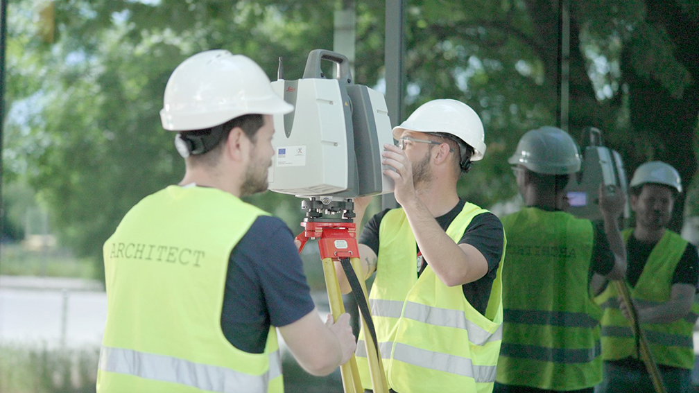
IPA - Architecture and more develops geodesy and vertical site layout solutions for residential, public, office, commercial, industrial and mixed-use projects. The process includes analysis of the existing terrain, level differences, access to the site, connections to adjacent areas, drainage requirements and the possibilities for integrating the building into its environment.
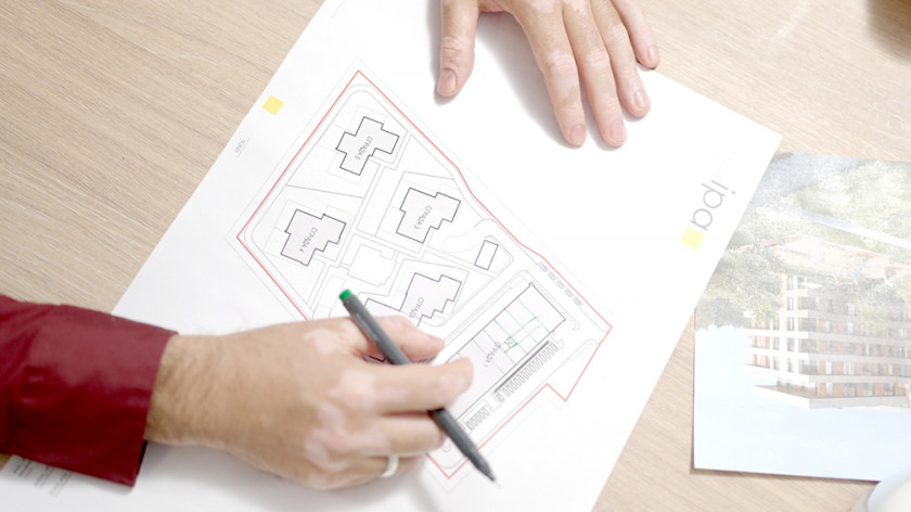
Vertical site layout defines project levels, slopes, approaches, ramps, pedestrian and vehicle access, as well as solutions for surface water drainage. This is especially important for sites with level differences, limited access, complex infrastructure or specific operational requirements.
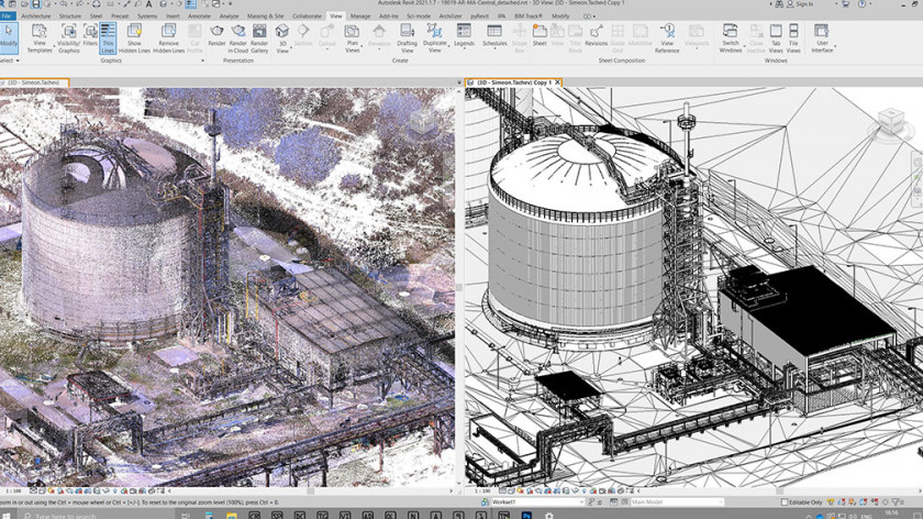
The use of digital terrain models allows more accurate analysis of earthworks, balance between excavation and embankment volumes and better control over the project budget. This makes it possible to compare different technical scenarios early in the design process and select a more efficient site solution.
Geodetic data and site terrain modeling are coordinated with architectural design, engineering infrastructure, water and sewage installations, electrical installations, landscape design and transport infrastructure. This reduces the risk of technical conflicts during construction and supports the reliable long-term operation of the building and its surrounding spaces.